We are pleased to announce that Aplitop TcpMDT is now compatible with the latest versions of GstarCAD. Civil engineering designers and surveyors will benefit greatly from the combination of the latest GstarCAD and TcpMDT technology.
Aplitop MDT, used by thousands of users worldwide, is a comprehensive and advanced solution fort he production of all types of topographic projects, because land, terrain and plot scan be modeled for road projects or urbanization. It is very easy to learn and you can choose between permanent or annual licenses.
If you want to add construction companies, public administration, universities, transport or engineering companies to your portfolio, now you have the opportunity to offer our highly competitive solutions.
Learn more about Aplitop MDT
Standard version
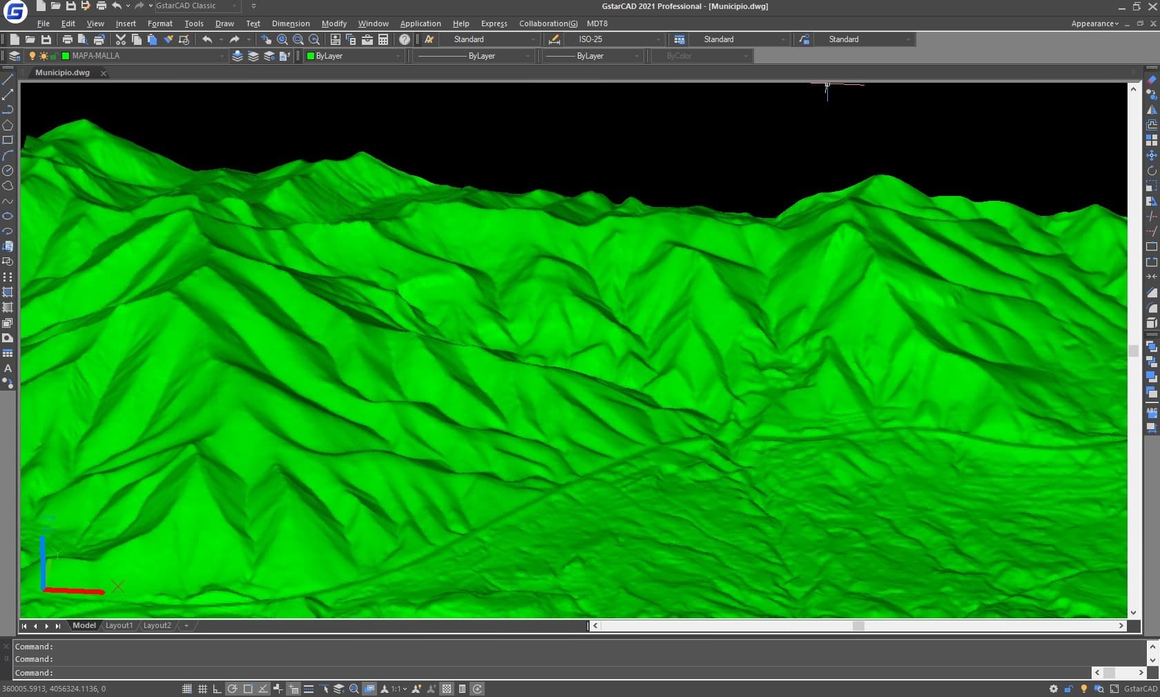
It allows terrain modeling using points measured by any total station or GNSS receiver, importing files or connecting to web services. It offers the ability to generate contour lines, draw profiles and cross – sections, calculate volume, visualize terrain in 3D, slope maps, import and export GIS files, etc. It also has functions for working with surfaces and several other accesories.
Professional version
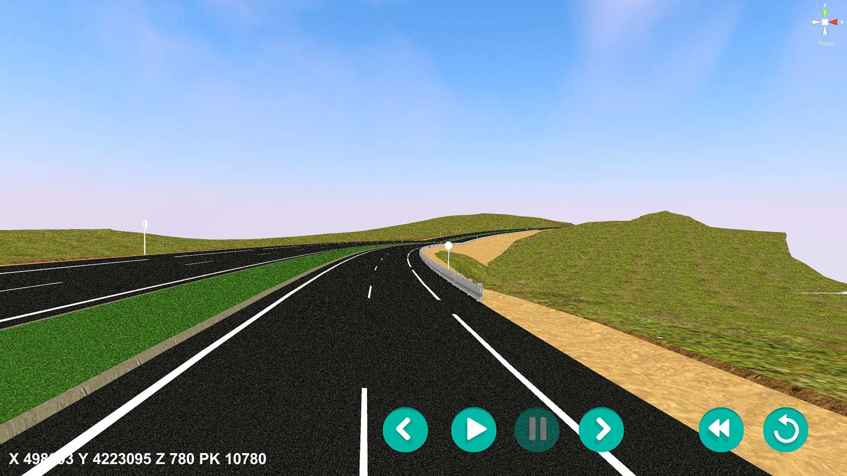
Includes all features of the standard version and offers tools for planning horizontal and vertical alignments, drawing project proposals, area and volume reports, virtual preview, measurements and assessments, water supply, sewerage and rainwater, etc. This software is suitable for all types of road projects, urabnization, quarry … By exchanging IFC and LandXML files we can easily integrate into OpenBIM workflows.
Surveying module
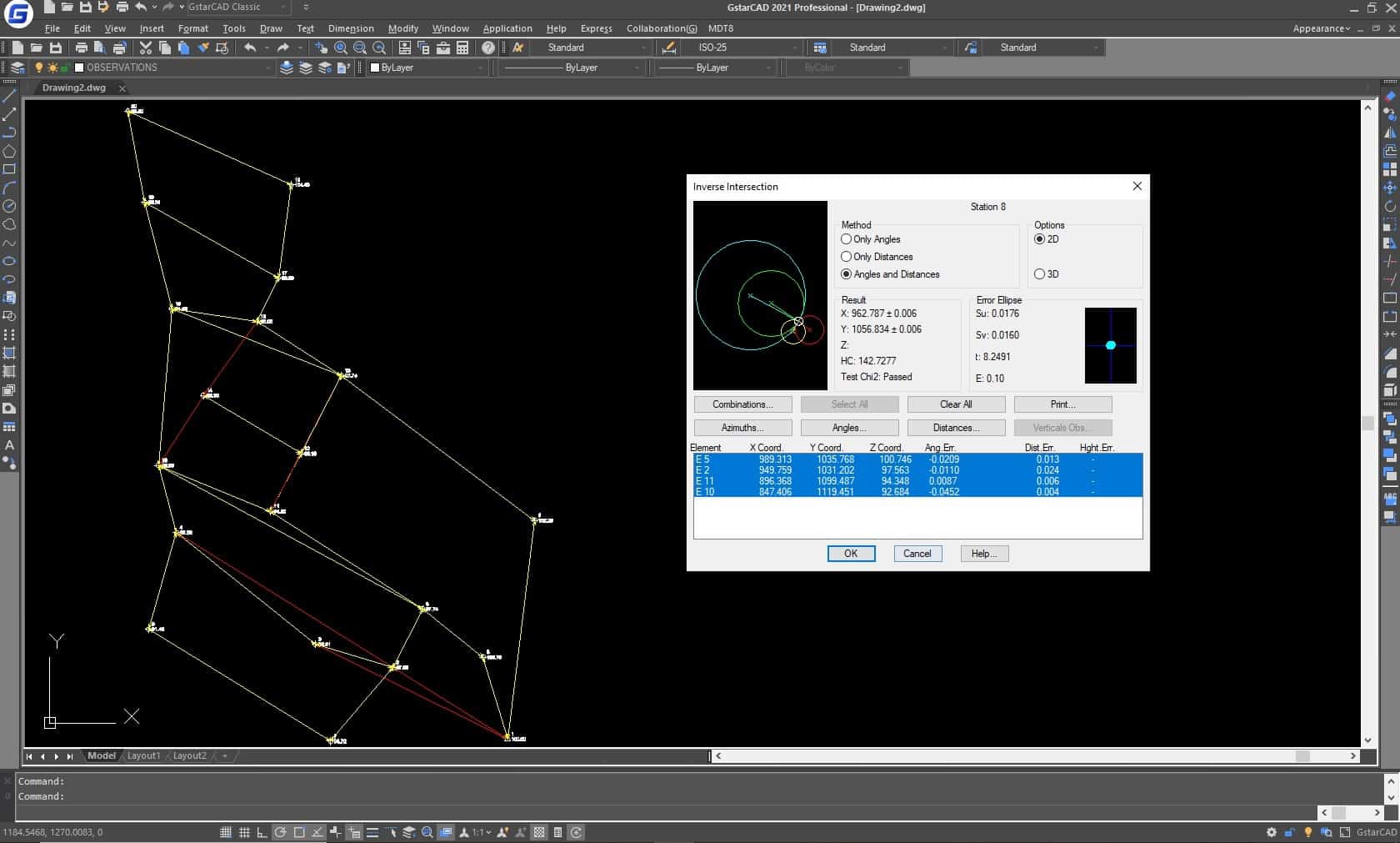
It is very useful for spatial data processing, calculating point coordinates and beam and grid compensation, It also allows you to implement coordination transformations and integrate the EPSG database with global coverage of reference systems organized by countries.
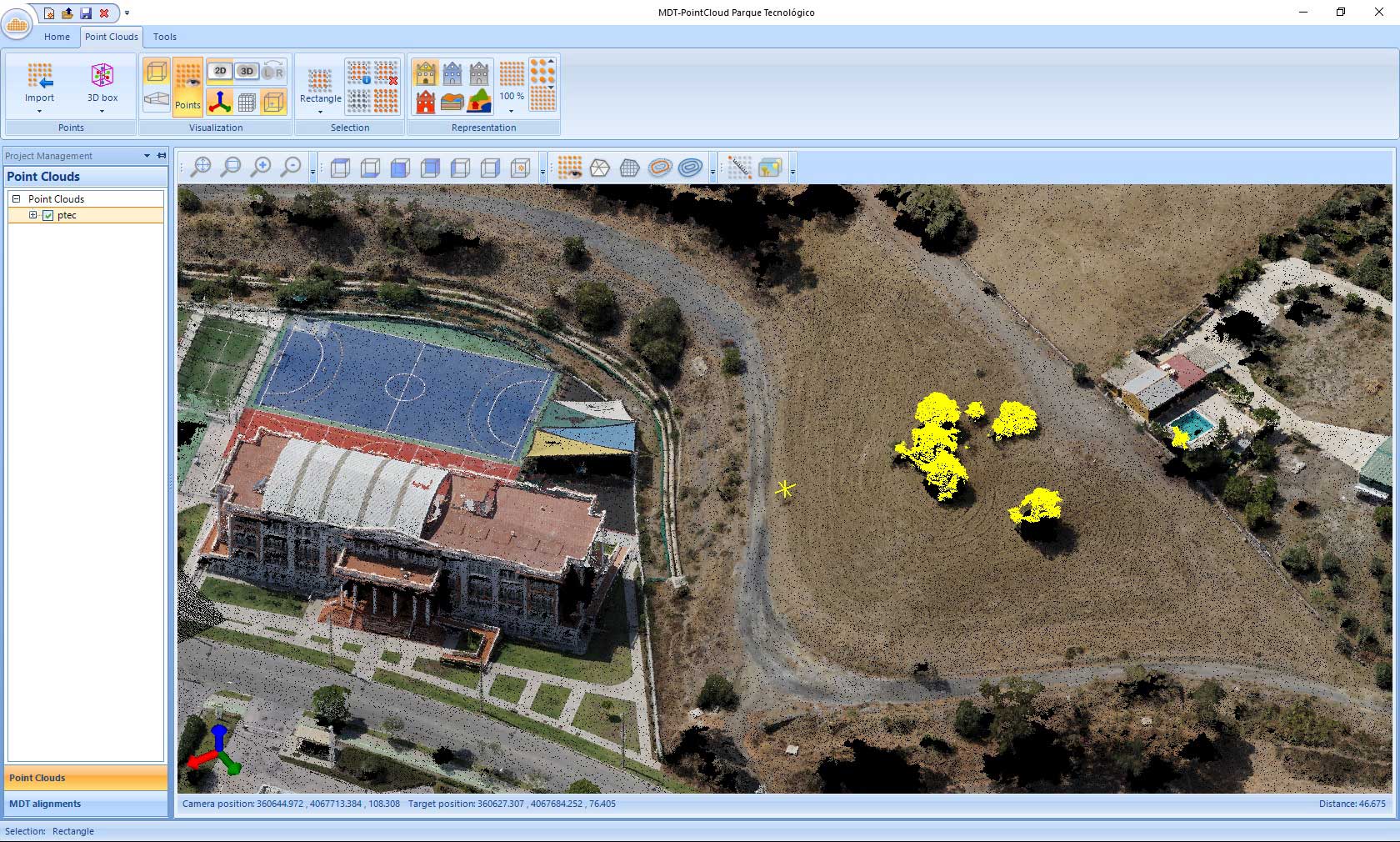
Point cloud module
It allows the user to view and process point clouds captured by laser scanners, LiDAR technology, Mobile Mapping applications or photogrammetry. It can manage millions of points imported from files in common formats. It also creates profiles and cross – sections from polylines or alignements, as well as digital models that can be easily exported to CAD.
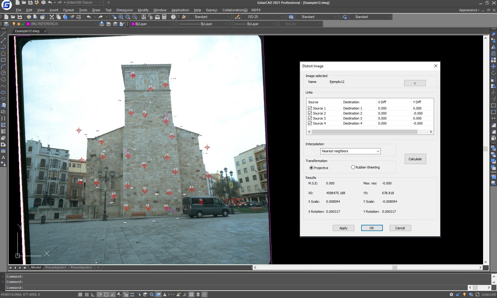
Images module
It is designed to work with digital images such as photographs, ortho images and scanned maps combined with vector drawings. It is very easy to georeference and distort images using checkpoints, use adjustment and conversion procedures, and combine and share images.
Download free TcpMDT demo for GstarCAD 2021
Try it! Download the 30 – day free trial version.

